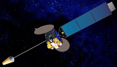
Himawari

Operatør: Japan Meteorological Agency.
Lanseringsdato: 02/2005 (MTSAT-1R), 02/2006 (MTSAT-2)
Banetyper: Geostasjonær
Posisjon: 145°E
Instrument: radiometer
Radiometeret skanner jordens overflate linje for linje; hver linje består av en serie med individuelle bildeelementer eller piksler. For hver piksel måler radiometeret strålingsenergi av de forskjellige spektralbåndene. Denne målingen er digitalt kodet, og overføres til bakkestasjonen for forbehandling før den formidles til brukerfellesskapet.
| kanal | Bølgelengde (µm) |
| VIS | 0.55 - 0.80 |
| IR1 | 10.3 - 11.3 |
| IR2 | 11.5 - 12.5 |
| IR3 | 6.5 - 7.0 |
| IR4 | 3.5 - 4.0 |